Surat Lignite Power Project, Surat


This company town located on a remote site of 33 hectares was planned for 500 Housing units along with necessary commercial and social infrastructure for employees of Gujarat Industries Power Corporation Ltd working near the village of Mangrol.
The land use plan evolved in response to topography and wind directions has residential zone planned on high ground as it facilitates easy drainage and reduces the cost of the sewerage and storm water disposal systems. At the same time the area is farthest away from the power plant and therefore preferable from the point of view of environmental quality.
The success of any township plan lies in strong community activity at all levels. The design would have to follow the hierarchy based housing standards laid down by the Bureau of Public Enterprises. However to avoid being led to socially stratified neighborhood, different housing categories were grouped in clusters with shared common areas and open spaces resulting in better interpersonal relationships between company employees.
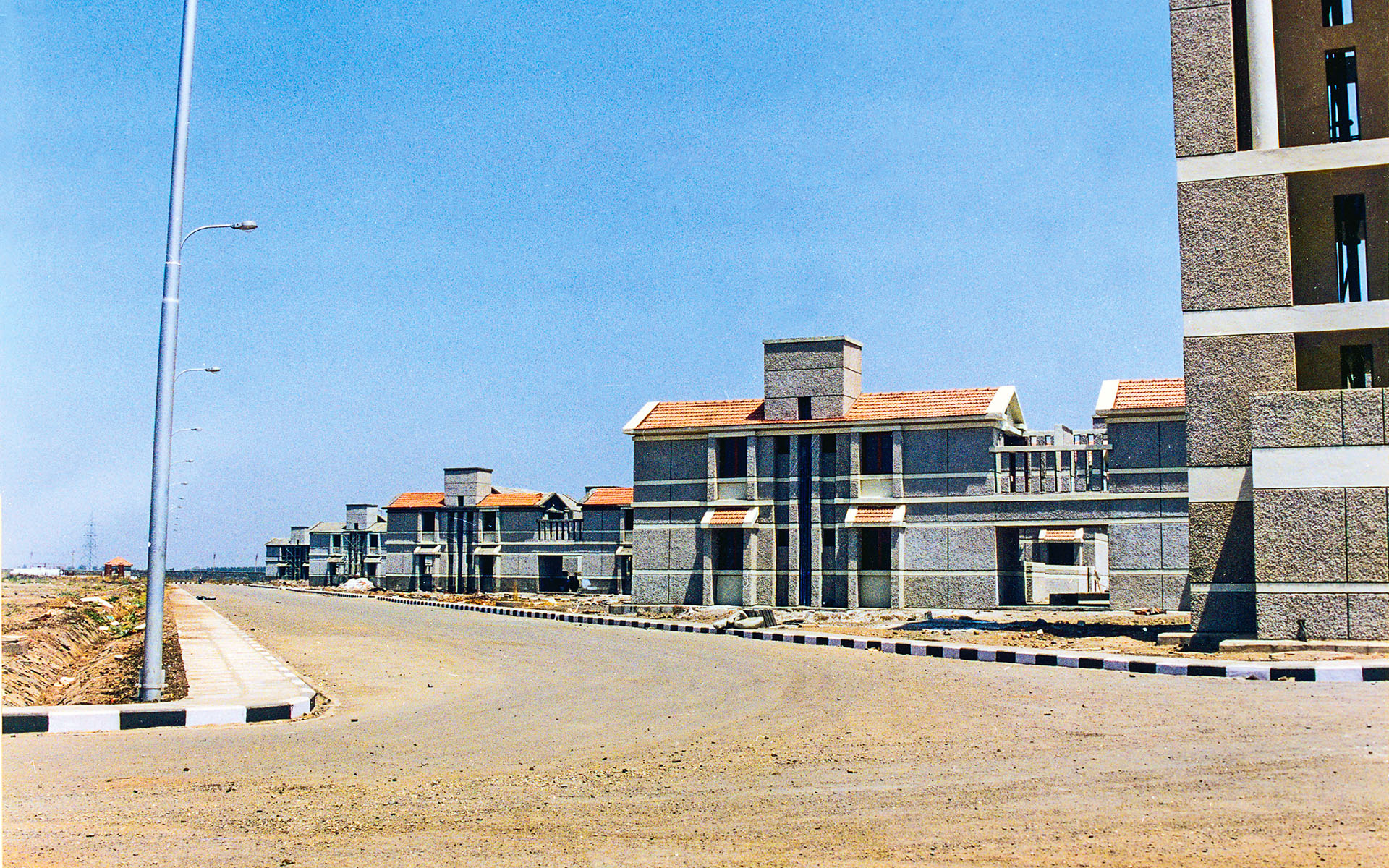
A three storeyed cluster development was found most appropriate for a majority of the housing types. In multi-level developments the upper floors generally do not have access to open spaces unlike the units on the ground floor.
While interaction at the neighbourhood level has been taken care of by careful planning of the housing clusters and intervening open spaces, a town center was created by combining compatible social and commercial functions into a central activity node for the whole development. This node comprising entertainment facilities (open air theatre, recreation center) shopping, commercial, official, transport and communication centers form the town centre planned around large plazas.
There are two distinct circulation systems in the township linking all the facilities. One is the pedestrian grid which is an internal network of pathways and the other, a ring road is independent of the pedestrian network running in a loop along the periphery of the residential area meant for motor vehicles.
A three storeyed cluster development was found most appropriate for a majority of the housing types. In multi-level developments the upper floors generally do not have success to open spaces unlike the units on the ground floor. By combining two types of units in one cluster ample terrace areas were available to all units on the upper levels.
The land use plan has evolved mainly on the basis of topography and wind directions. Soil conditions are seen to be uniform throughout the site. The residential zone is planned on high ground as it facilitates easy drainage and reduces the cost of the sewerage and storm water disposal systems. At the same time the area is farthest away from the power plant and therefore preferable from the point of view of environmental quality. A buffer zone of dense tree planting is planned all along the road side and other boundaries of the site to isolate the township physically from unpredictable future development.